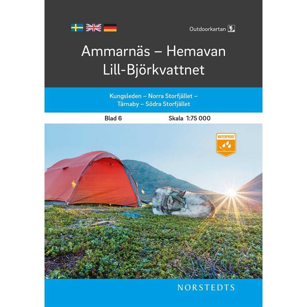
The outdoor map is a new series of topographic outdoor maps with a coverage area adapted to hiking trails in the mountains and popular outdoor areas for e.g. hiking, paddling and skating in southern Sweden. The specific mountain information shows, among other things, marked summer and winter trails, routes suitable for snowmobiling, bridges and fords, mountain stations, rest huts and helplines.
The map is printed on Polyart, which is completely water-resistant and withstands many folds. The map's content, clarity and durability make it ideal to take on the trip.
The scale on the maps of northern Sweden is 1:75,000, for southern Sweden 1:50,000.
Outdoorkartan Ammarnäs Hemavan Lill-Björkvattnet
€19
Cart(0 items)
Your cart is empty.
Request a Quote
Not sure what you need?
Describe your organisation and your needs, and we will come back with a proposal tailored to you.
Thank You For Your Request
We have received your request and will get back to you as soon as we can.